While there is still some uncertainty with the timing of the system, forecasters are predicting a minimum impact with winter weather moving through the Lakes Region Sunday night into Monday.
The current trends predicted by the National Weather Service shows a limited to minor impact as rain changes over to snow during the overnight hours. Lakes Region temperatures are expected to be at or just above freezing limited the chance of accumulating snow to no more than one inch. Parts of northern Stone and Barry Counties could see higher amounts according to the current forecast trend while the heaviest impact currently forecast for areas around Springfield and to the east, where four plus inches of snow could occur.
While travel impacts are possible on Monday, the precipitation will go back to rain before ending in the afternoon with temperatures expected to rebound into the 50's on Tuesday.


 Voters Will See Several Issues on Missouri April Ballot
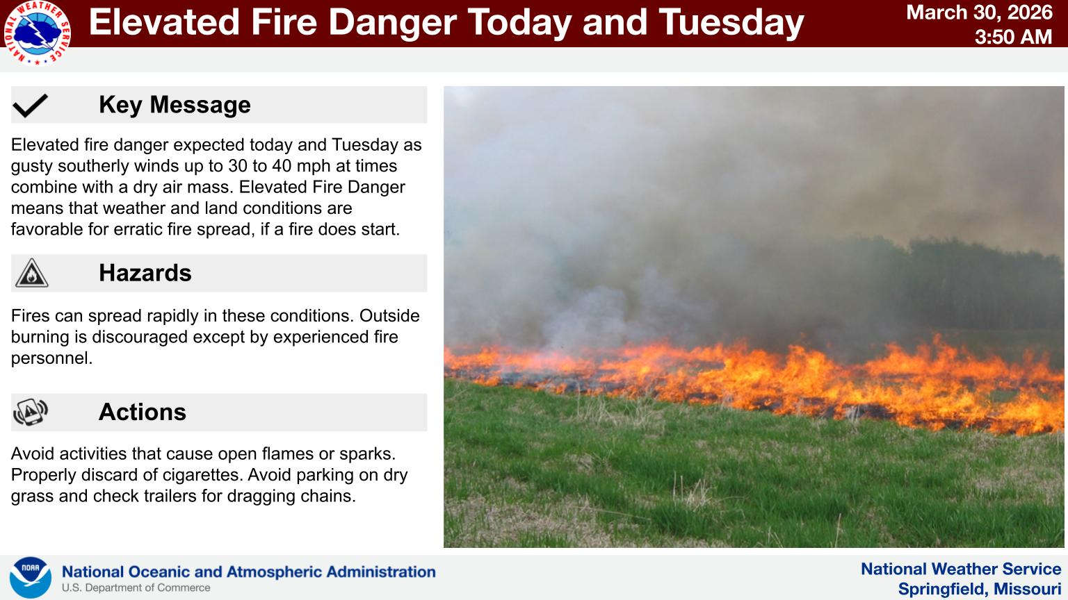 Fire Danger Continues Today, Tuesday
 Forsyth Board of Aldermen Meeting Monday to Discuss Two Major Topics
 Emergency Personnel Team-Up to Rescue Hiker
 Stone County Ambulance District Continues Growth