


The sunny and hot first week of summer continues though rain begins to reenter the picture as the weekend hits.
According to the National Weather Service, a 30 to 50% chance of showers and thunderstorms will be in the forecast beginning Friday on through the weekend. A cold front will approach the area over the weekend keeping the chance of rain in the forecast into next week.
Highs today will range into the 90s with Heat Index readings around 100 though temperatures will begin to moderate over the next few days with highs in the upper 80s.


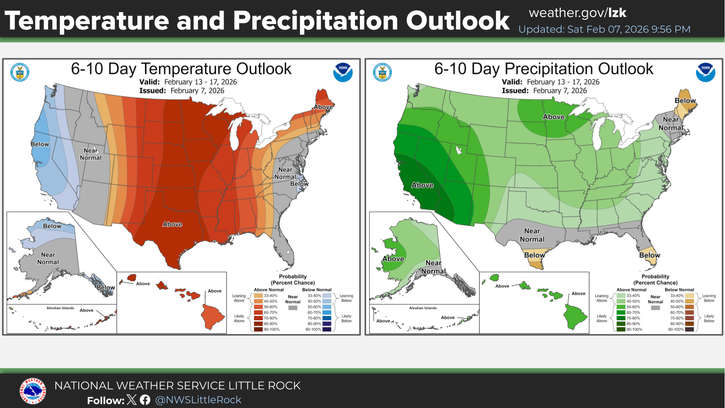 Temperature Surge Hits the Lakes Region
 Law Enforcement Warns of Cryptocurrency Fraud
 MSHP Works Crashes Friday Afteroon
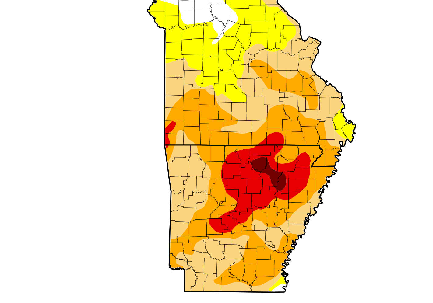 Extreme Drought in Parts of the Lakes Region