
The weekend wraps-up with some rain leading to a slight cooldown.
A frontal system passing through the Ozarks Sunday evening brought rain to parts of the Lakes Region and will lead to a slightly cooler start to the week.
A line of showers and thunderstorms formed during the evening with some areas receiving over a half of inch of rain.
The result of the front will be slightly cooler and less humid conditions today with highs in the low to mid 90s.
Another round of heat will push temperatures back up to 100 by Tuesday followed by another front Wednesday evening bringing more rain and temperatures back into the low 90s for the rest of the week.
 Search Continues for Missing Jet Skier on Table Rock Lake
 Weather Causes Damage, Closes Dewey Short Visitors Center
 Wings of Pride and Thunder Days Continue their Labor Day Weekend Run
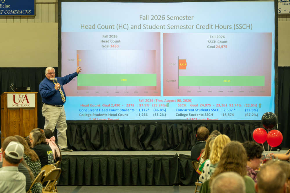 Record Enrollment Numbers at UA Northark
 Branson Motorcyclist Seriously Injured After Crashing Into Trees on Highway 76


