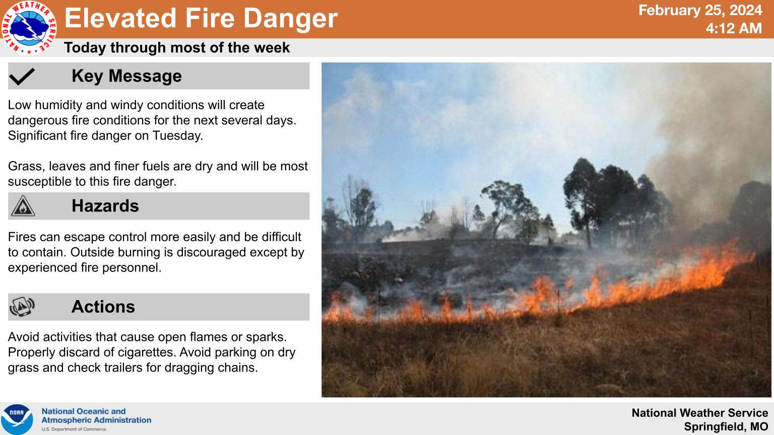
A huge swing in weather starts with record highs and elevated fire risk and ends with much colder temperatures.
Highs in the region will be in the upper 70's to low 80's through Tuesday with gusty winds and low humidity elevating the risk for outside fires to get out of control. Many of the high temperature predictions for Monday and Tuesday are above the highest recorded temperature for that date which could set many new records.
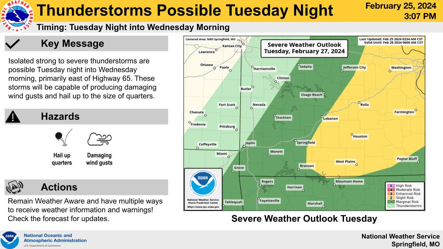
A cold front will push through overnight Tuesday into Wednesday shifting the winds from the southwest to the northwest sending temperatures down nearly 40 degrees. High temperatures are only forecast for the 40s on Wednesday but winds will remain gusty keeping the risk of fire high. In addition, some strong to severe thunderstorms are possible though forecasters currently predict the highest chance of storms to be in south central Missouri.
 Branson Schools Announces New Executive Director of Operations
 Pioneering Quality in the Steel Industry
 Can a Contractor Take Over Your Home
 Frozen Pipes, Hot Water Heaters, and Dishwasher Mishaps
 Choosing the Right Trailer: A Comprehensive Guide


