

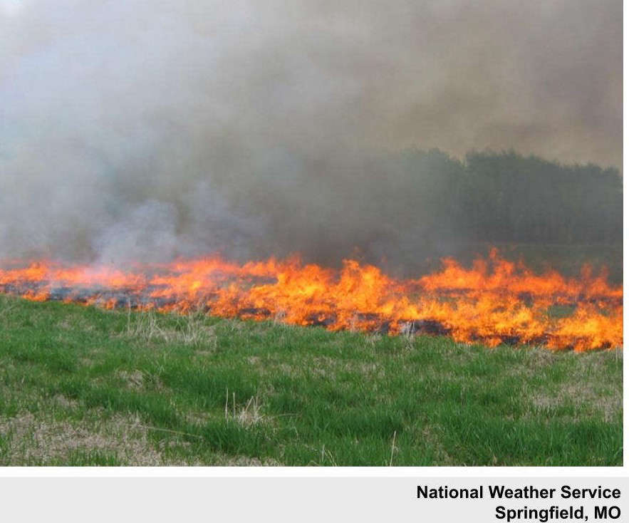
National Weather Service forecasters in the region continue to warn of an elevated fire risk due to high winds and low humidity.
While a cold front shifted the winds to lead to a chilly start to the morning, the winds will shift back from the south and increase again late this afternoon into the evening. Despite yesterday’s rain, conditions remain overall dry and fire risk does remain high.
Saturday’s high will surge into the 60s before another brief cool down on Sunday leads to even warmer temperatures with highs expected into the 70s for much of the week including Christmas Day.


 Two Men Facing Charges For Showing Weapons During Using Racial Slurs in Branson
 Arkansas Teen Killed in Missouri Traffic Crash
 JPH Lecture Series will feature Aerospace Engineer and Space Technology Leader Dr. Tim Crain
 School of the Ozarks students recognized in Voice of Democracy, Patriot’s Pen contests